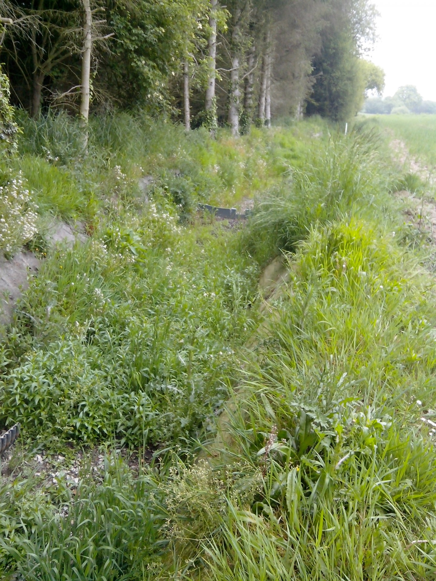
In industrialised countries, diffuse pollution has become the main source of surface water contamination. Surface water in turn is an important source for drinking water production in the EU and the USA. While nutrients remain the major concern, pesticides are also frequently detected above drinking water thresholds in source water with agricultural influence. Mitigation zones, such as constructed wetlands or riparian buffers, have a large potential to reduce the impact of agricultural activities on surface water quality.
Based on the results of the first project phase AQUISAFE-1 , AQUISAFE-2 aims at
optimizing system-analytical tools for the planning and implementation of mitigation zones,
demonstrating the effectiveness of mitigation zones in international case studies and
developing recommendations for the implementation of near-natural mitigation zones, which are efficient in attenuating nutrients and selected pesticides.
The objective of the project is addressed along the following components:
GIS-based methods for the identification of diffuse pollution hotspots, as well as model-based tools for the simulation of nutrient reduction from mitigation zones will be evaluated for two watersheds in the USA and France.
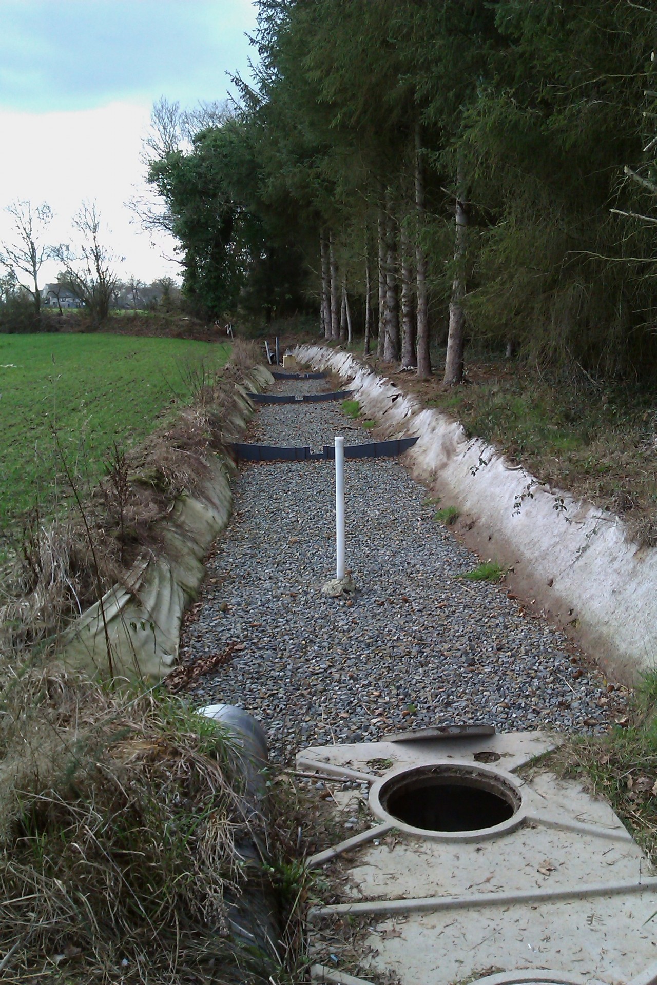
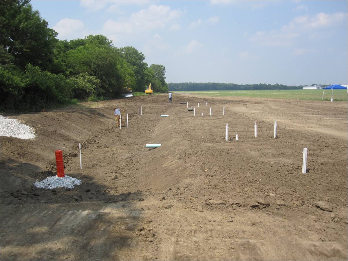
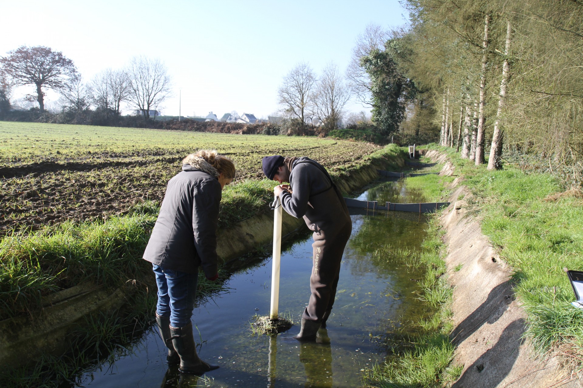
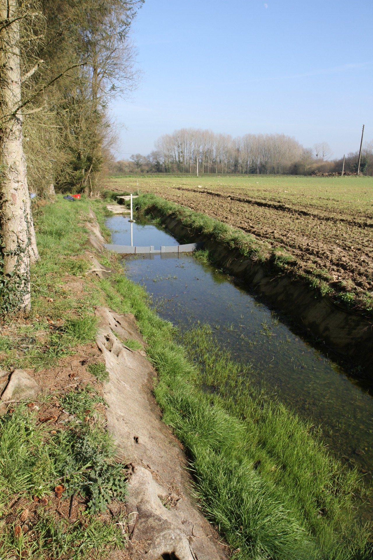
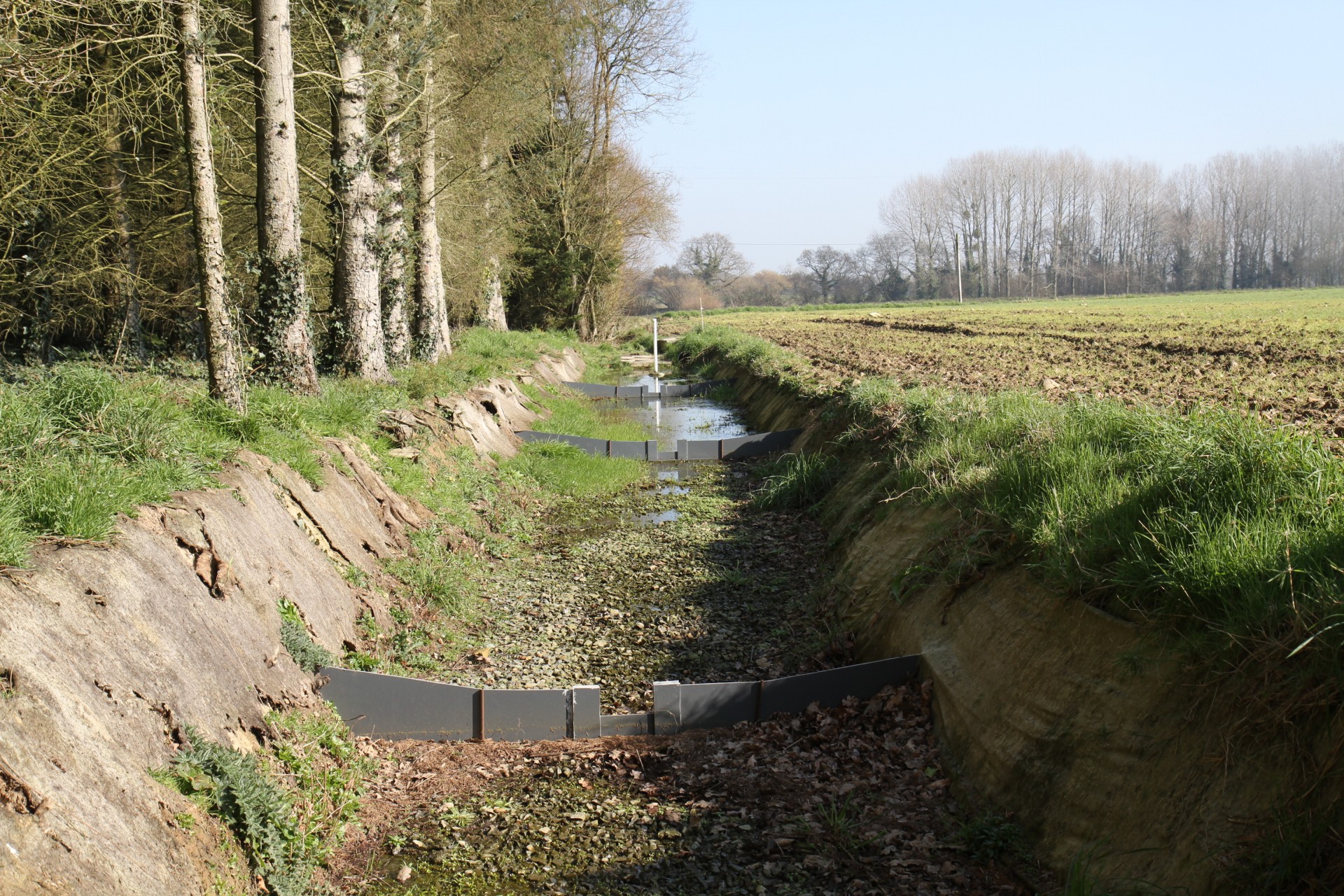
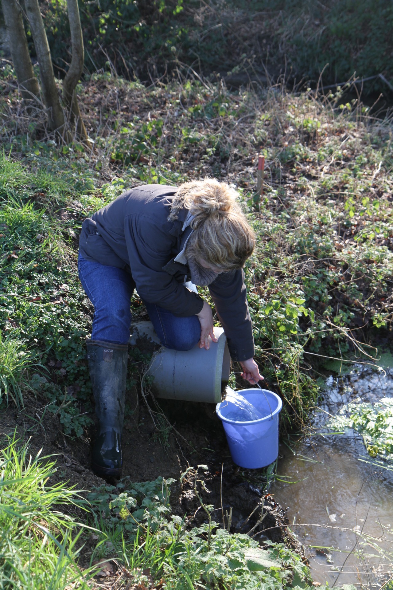
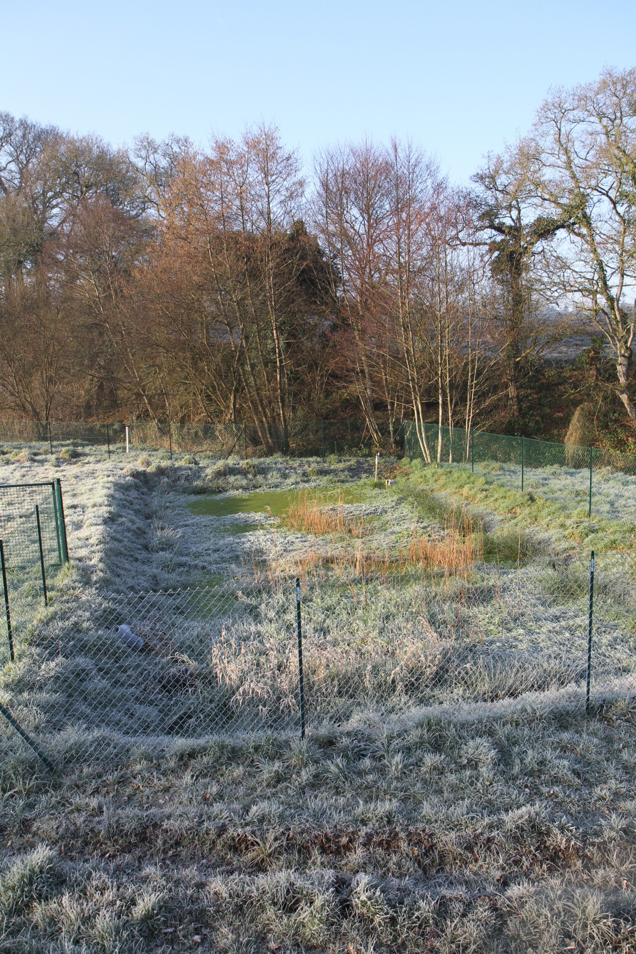
Nutrient retention capacity of different types of mitigation zones will be tested in international case studies in the Ic watershed in France and the Upper White River watershed in the USA under natural conditions, such as variable flow.
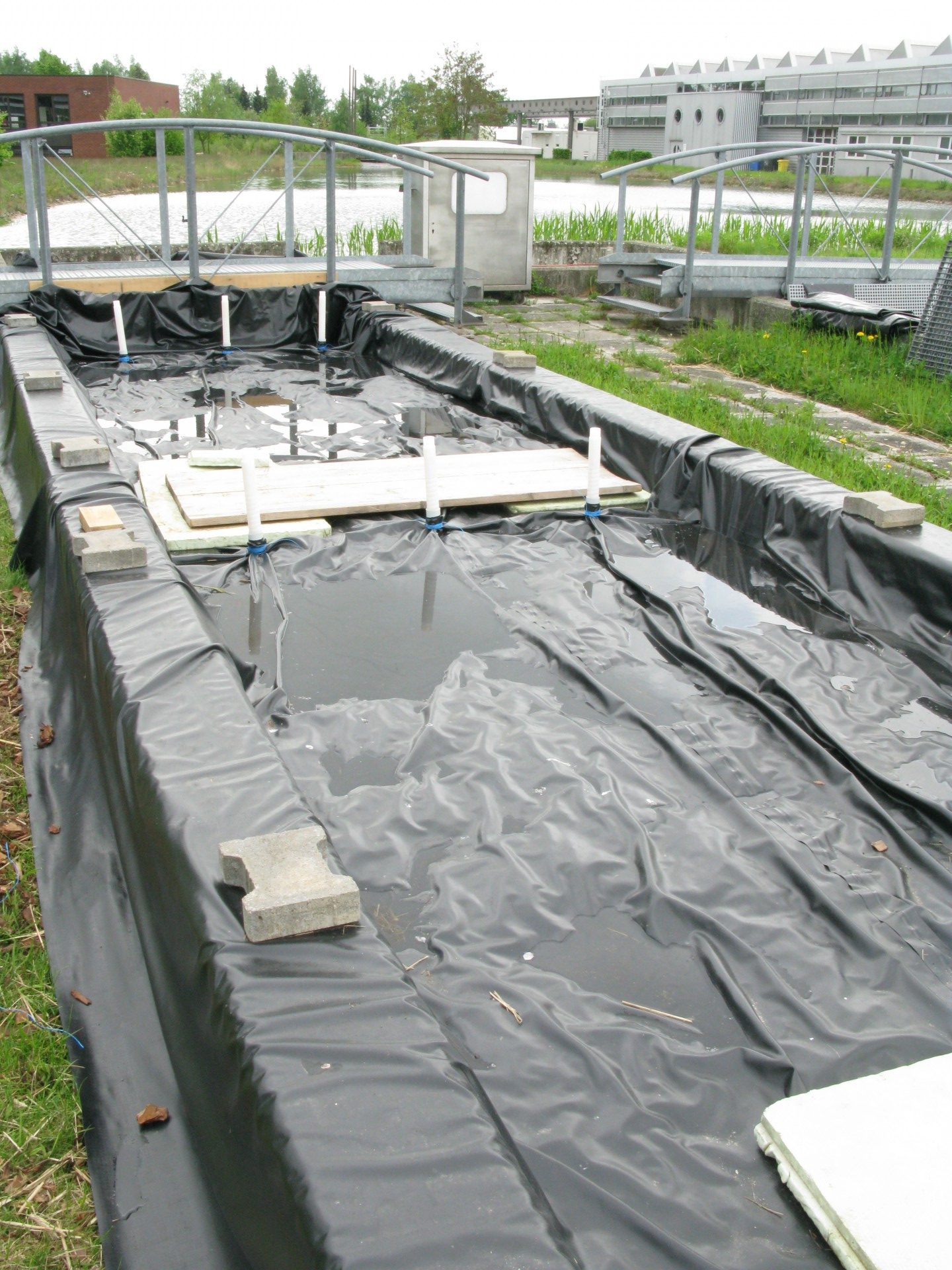
Efficient mitigation zone designs for the retention of relevant pesticides will be identified in laboratory and technical scale experiments at UBA in Berlin.
The results are expected to reduce diffuse pollution in the two case study areas and allow the planning and implementation of further effective mitigation zones in watersheds, which are impacted by agricultural activities.

- Report on efficient design of mitigation zones for pesticide removal
- Naturnahe Pufferzonen als Gewässerschutzmodelle
- Properties of Atrazine and Bentazone
- Buffer system implementation with increased infiltration and nitrate retention capacity - A case study from Brittany, France
- Development of a GIS Method to Localize Critical Source Areas of Diffuse Nitrate Pollution
